Ston: Salt, Walls, and Oysters

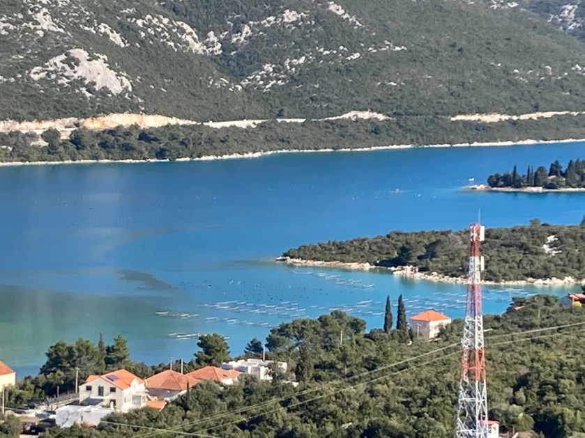
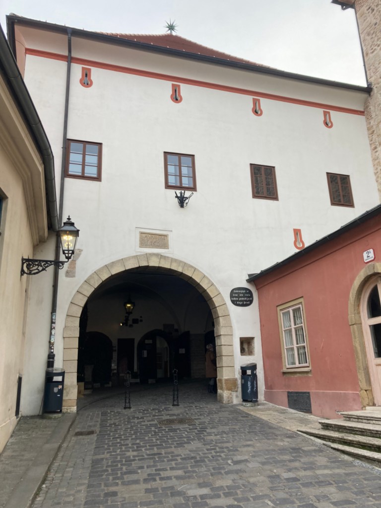
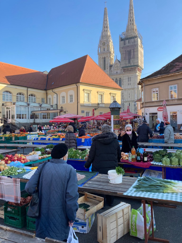
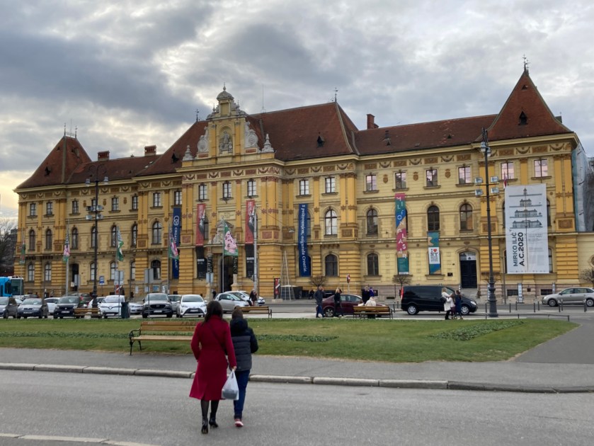
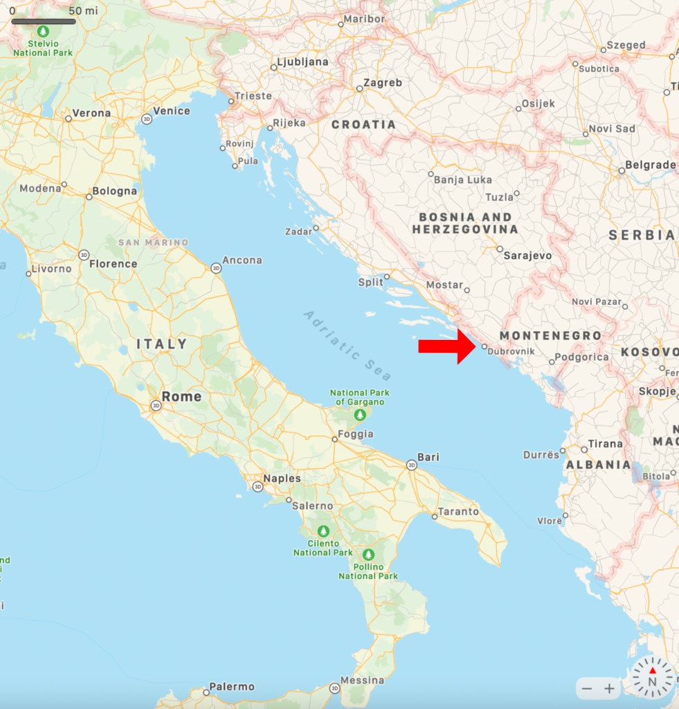
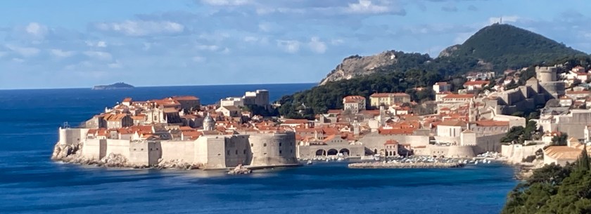
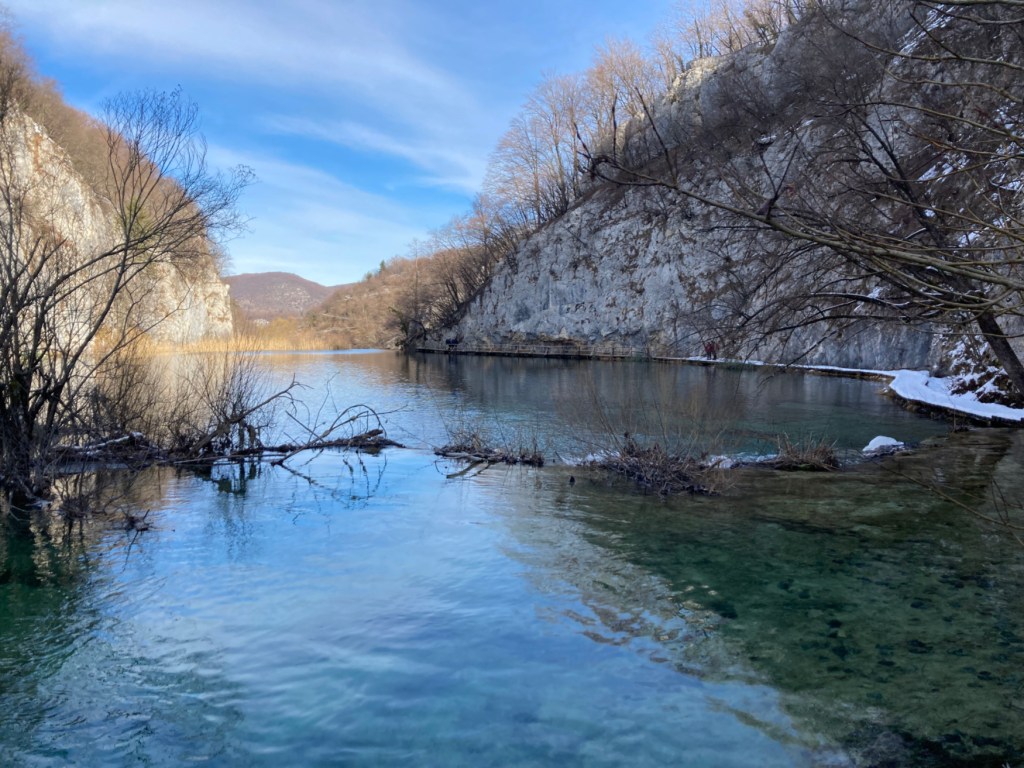
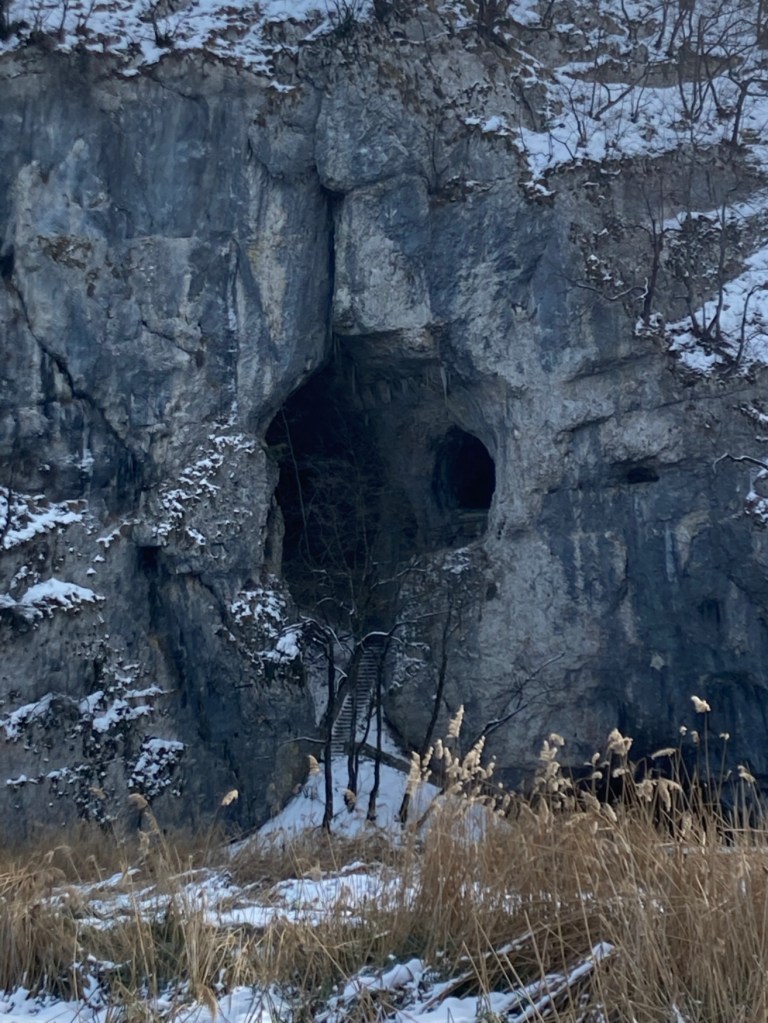
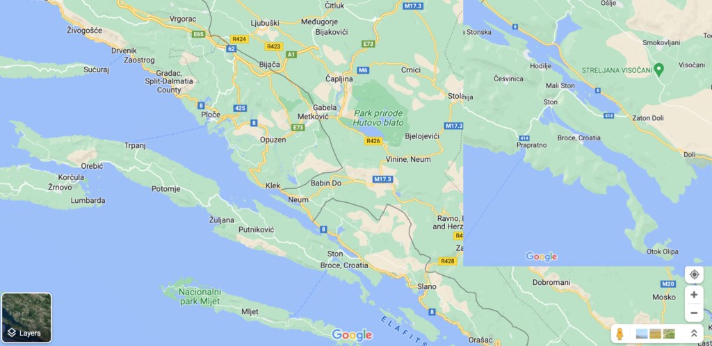
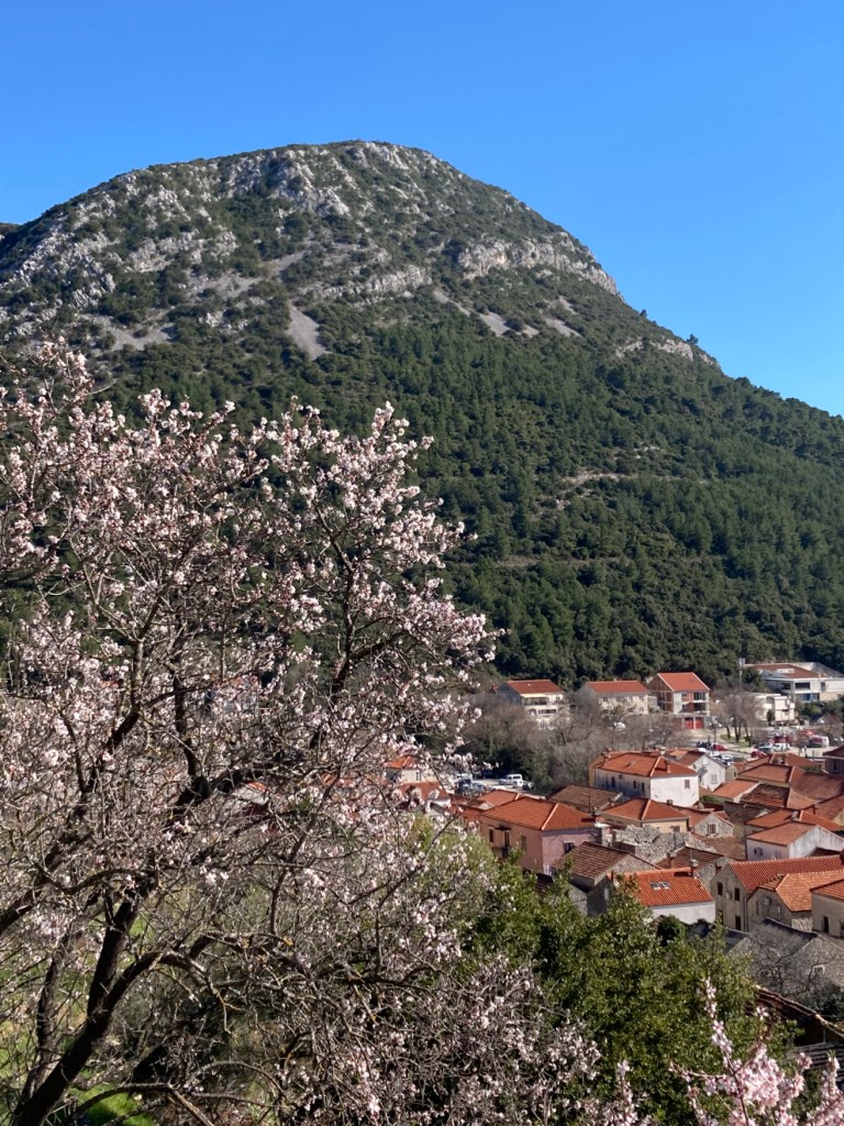
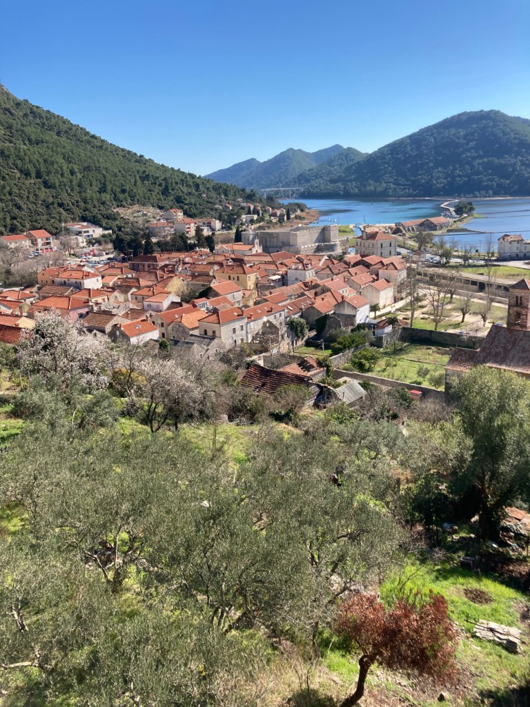
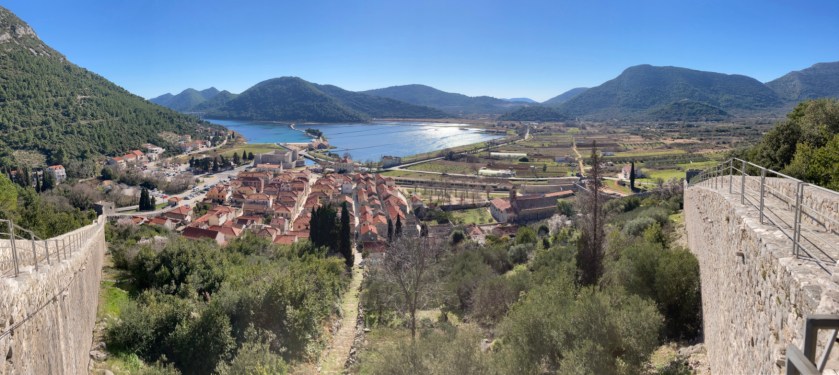
We took the #15 Libertas Bus and did an overnight trip to Ston (pronounced “stone”). Ston is at the base of the Peljesac peninsula. It’s situated at the end of a small bay on the Adriatic side of the peninsula. Peljesac is only a couple of kilometers wide at this point. The town of Mali Ston (Mali= little) is on the bay side of the narrow base of the peninsula. There are 3 reasons for the tourist to visit Ston: walls, salt, and oysters.

Salt and Walls

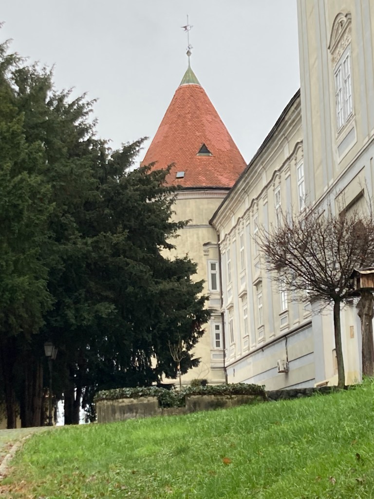
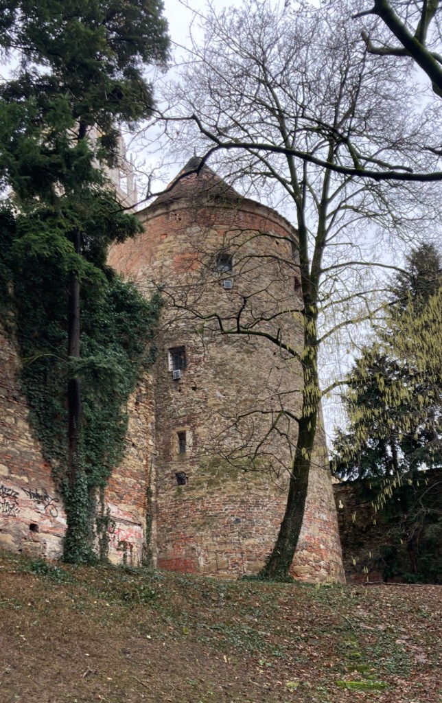
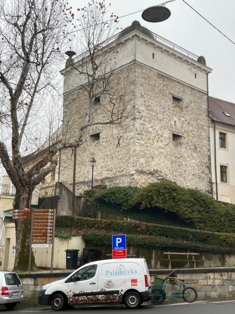
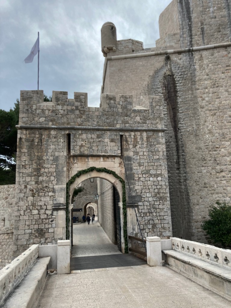
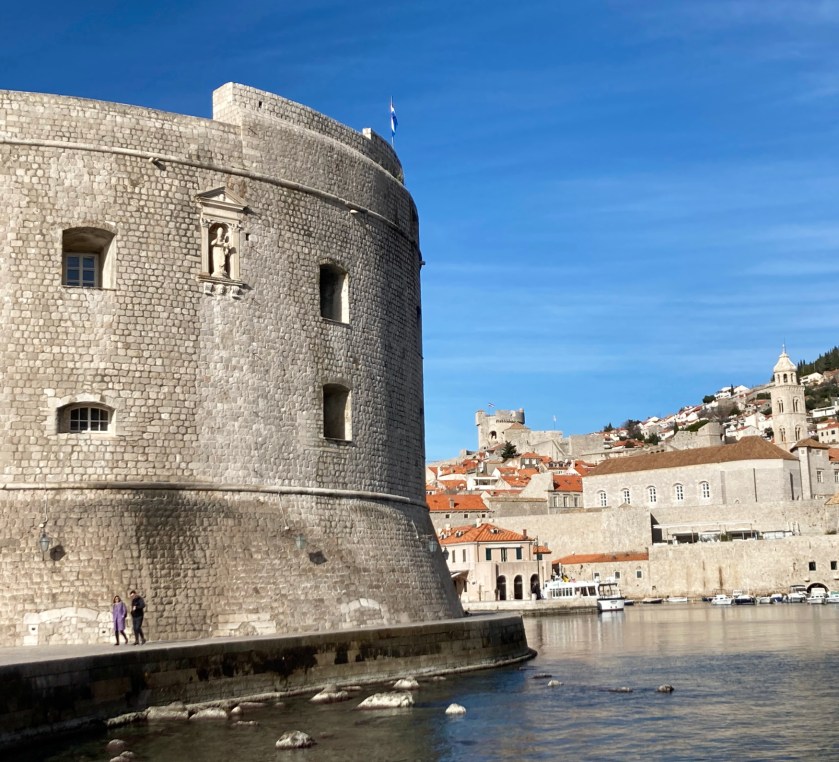
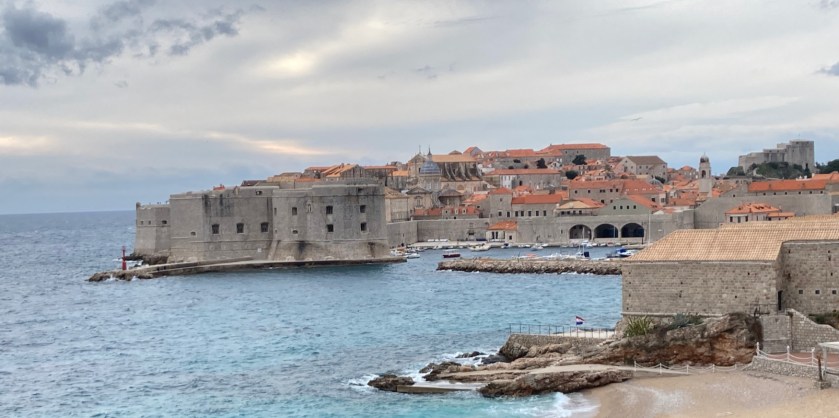
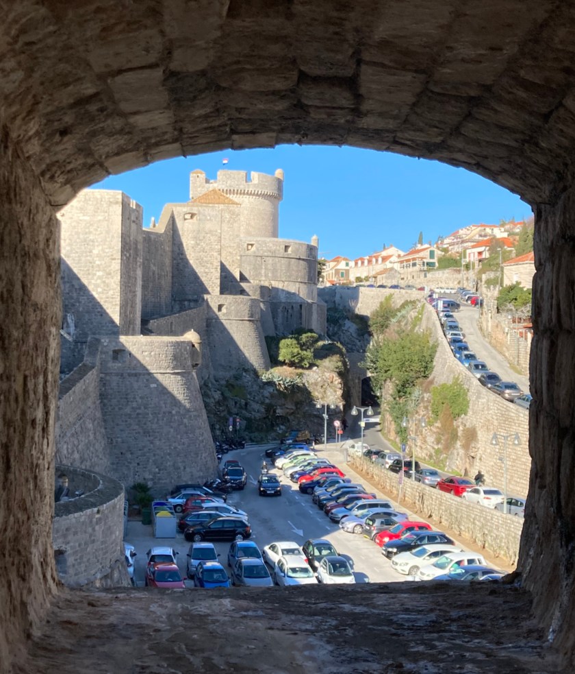
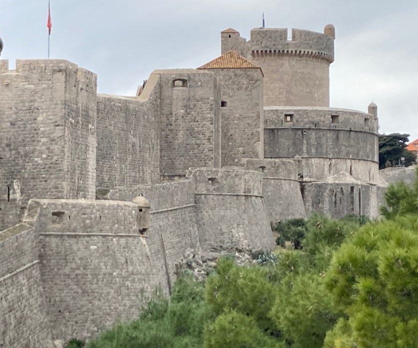
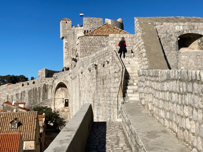
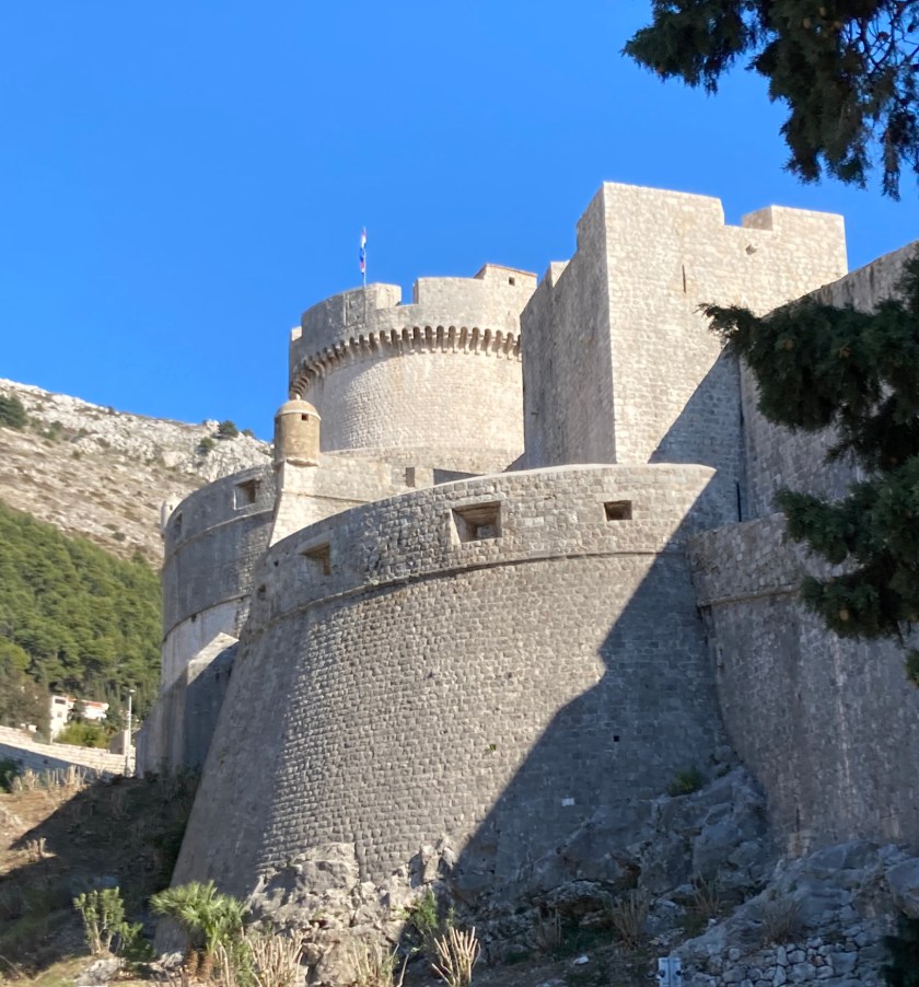
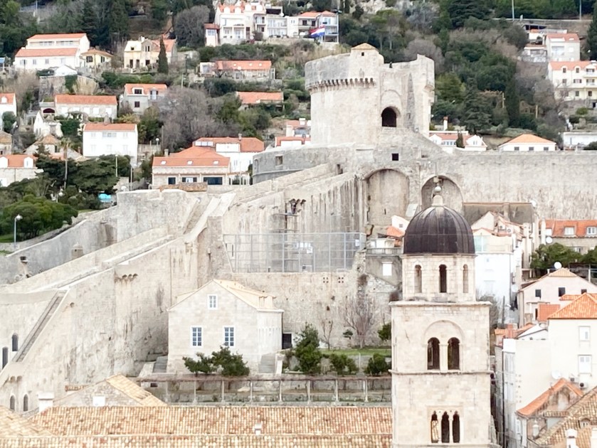
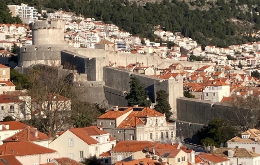
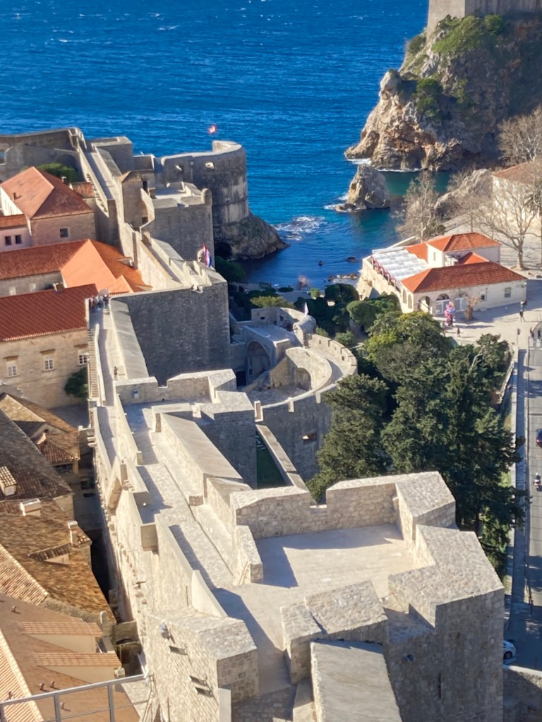
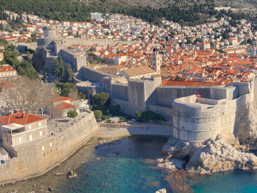
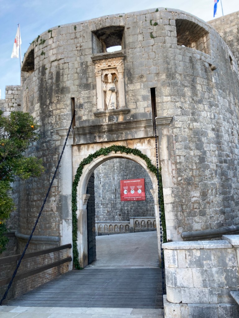
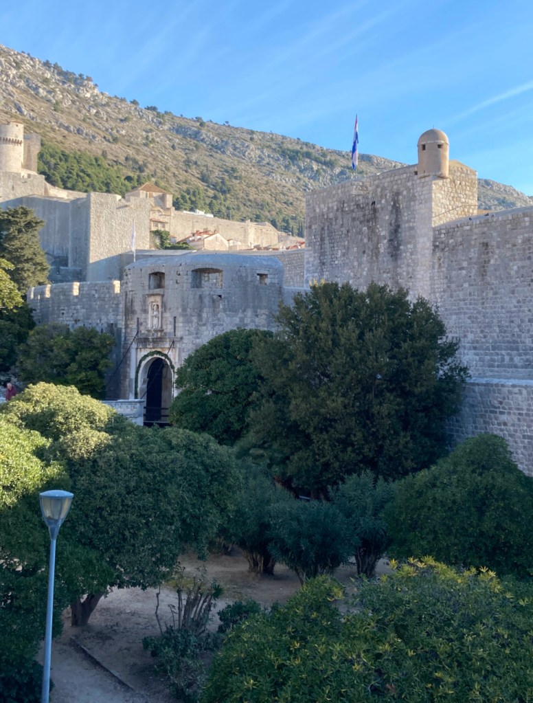
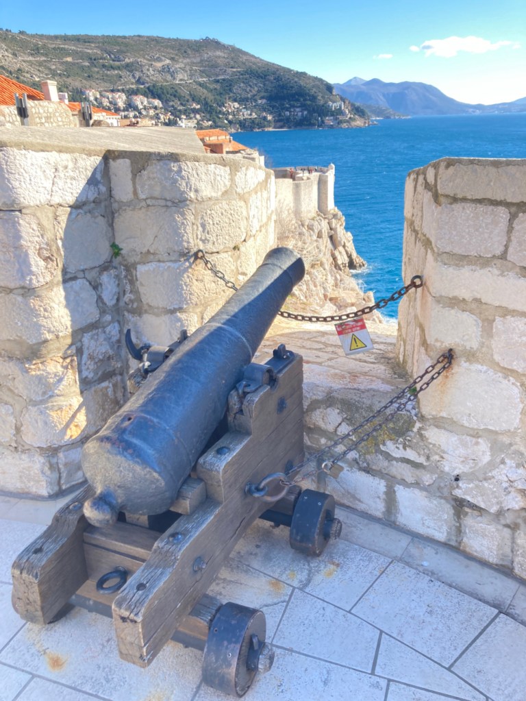
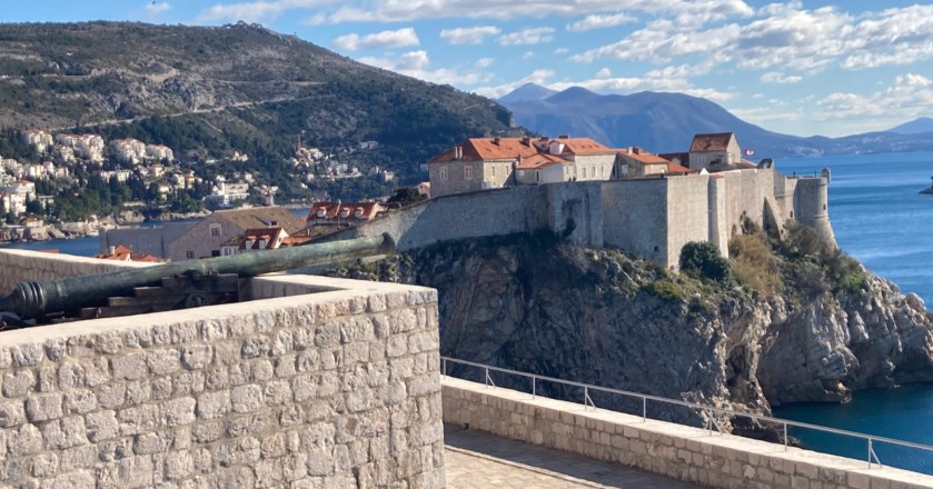
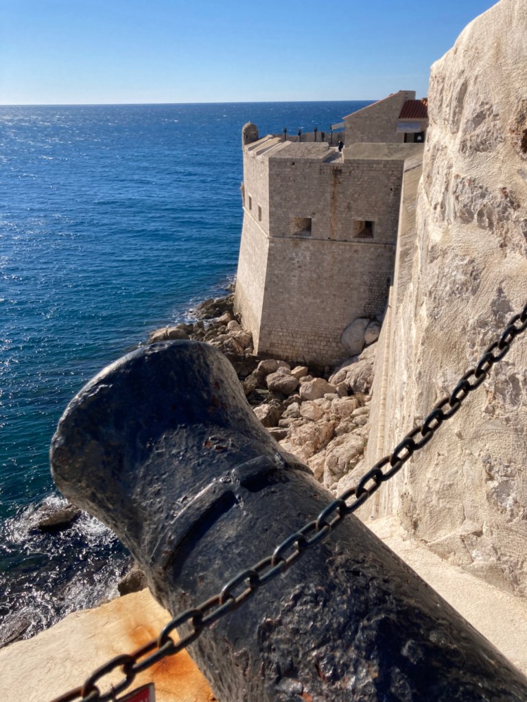
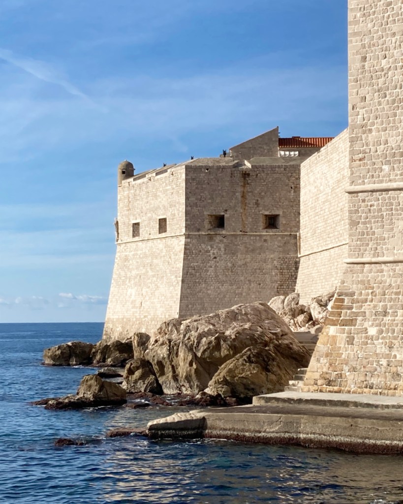
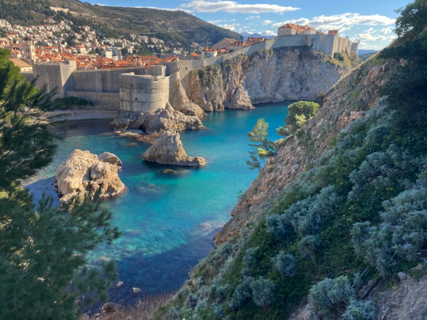
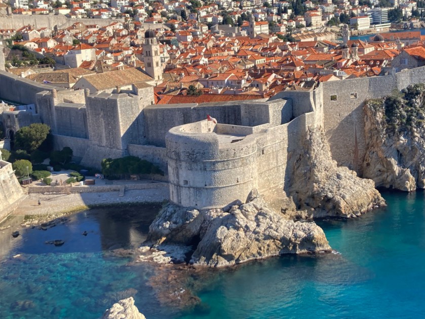
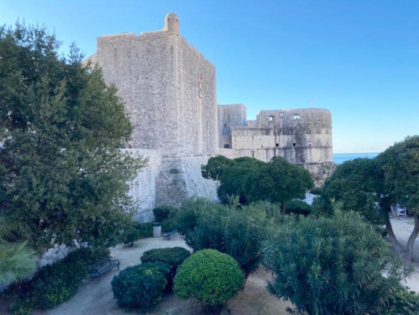
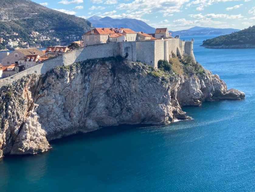
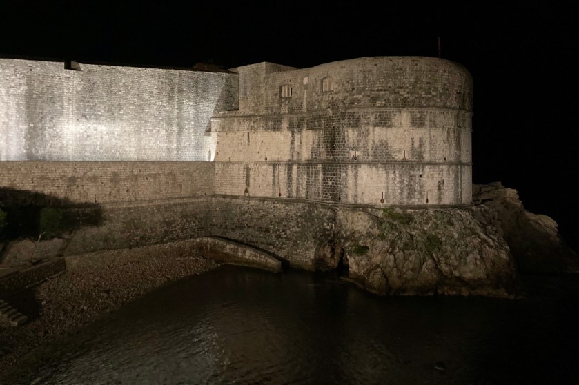
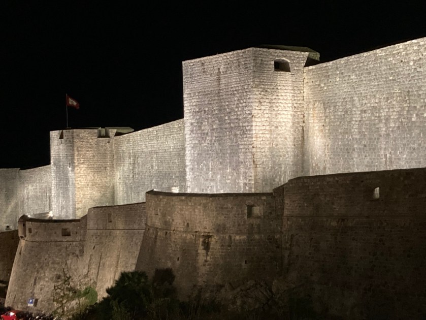
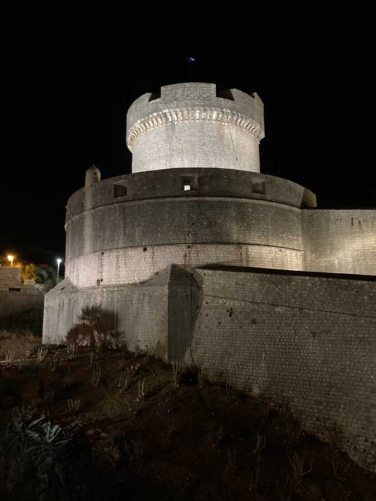
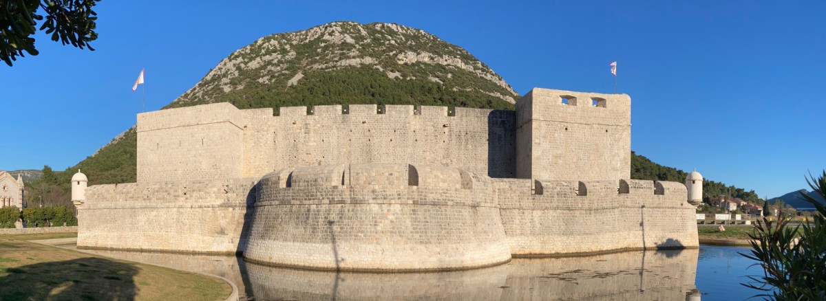
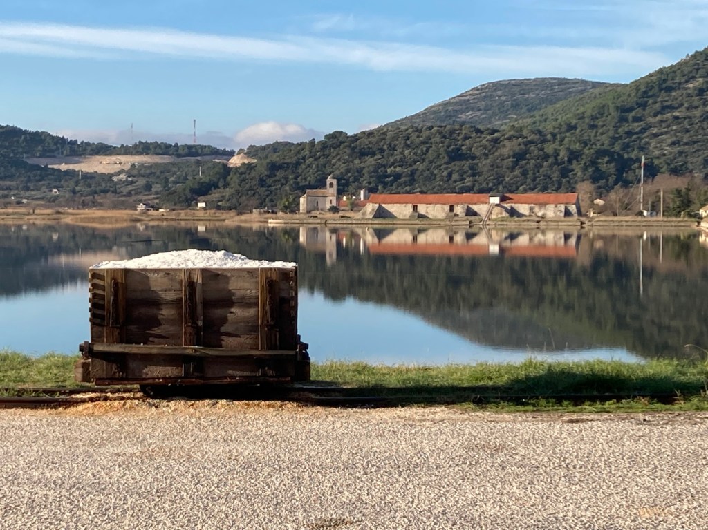
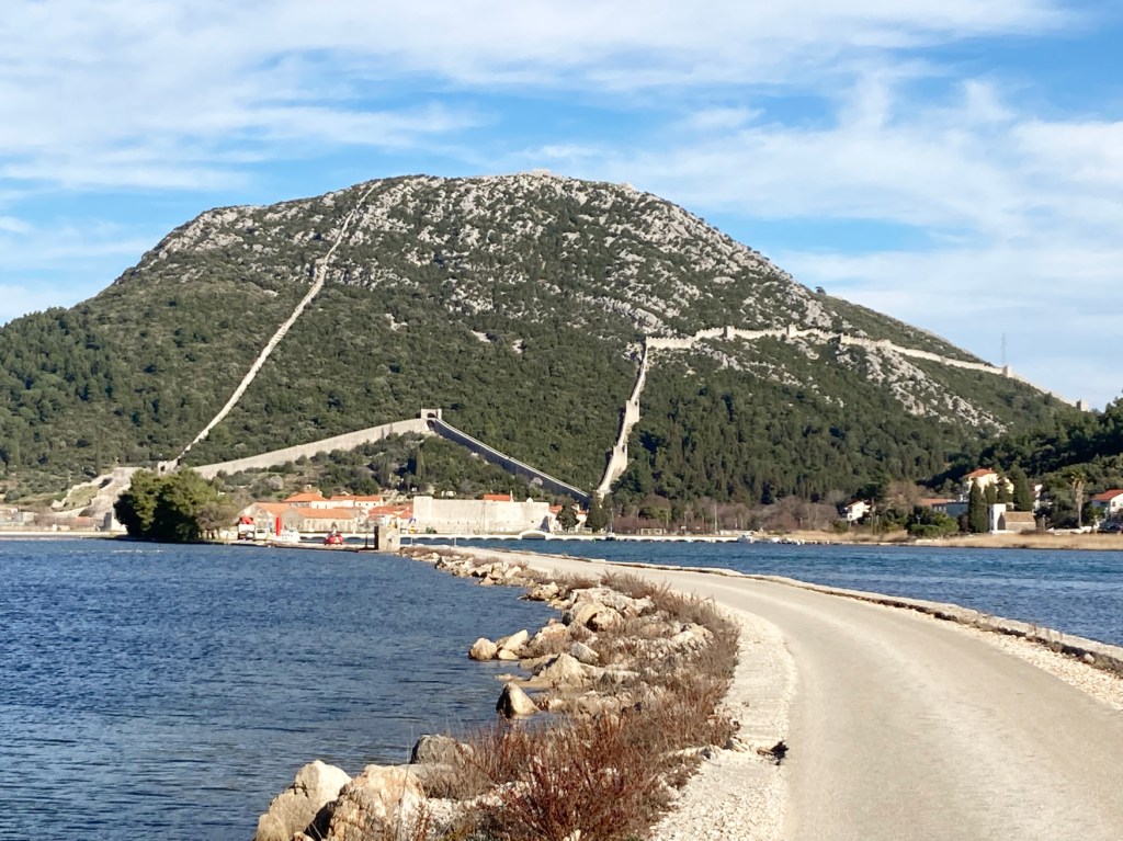
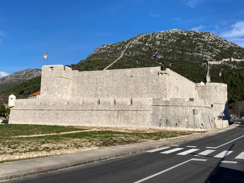
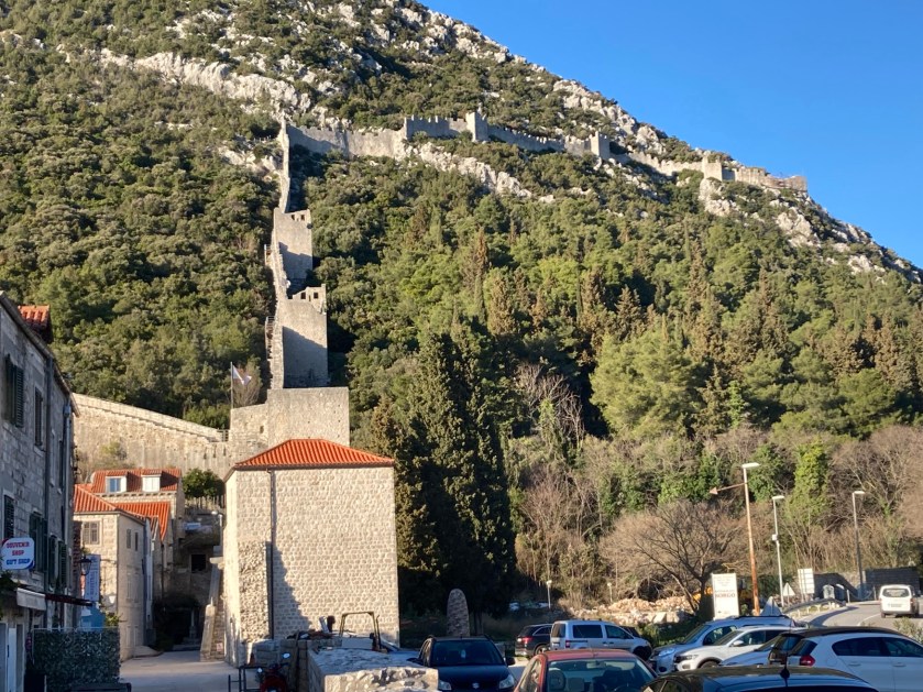
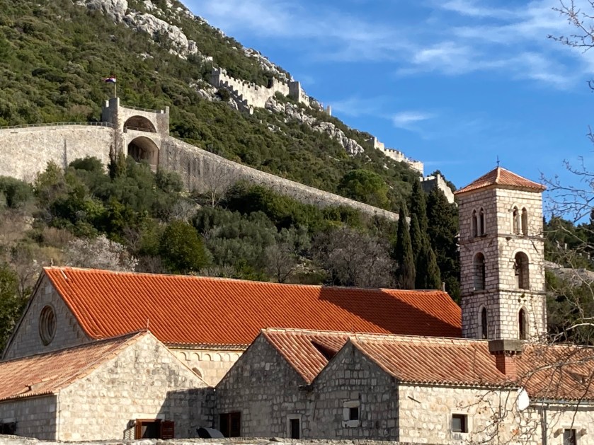
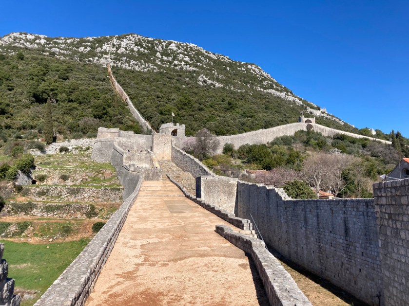
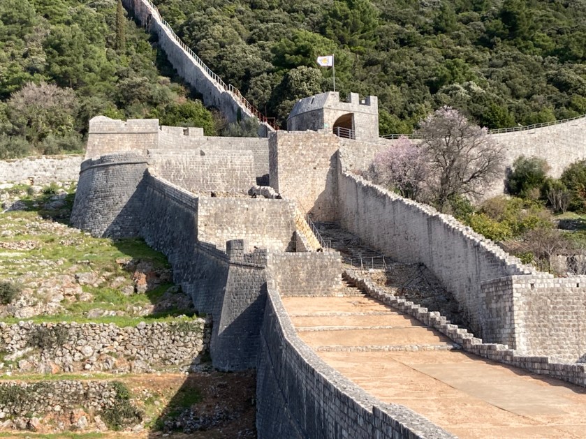
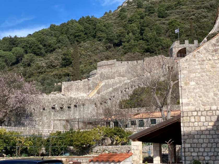
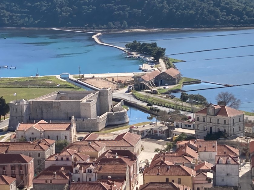
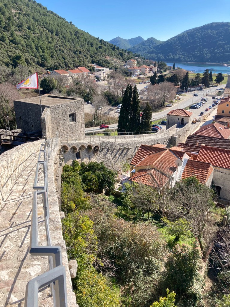
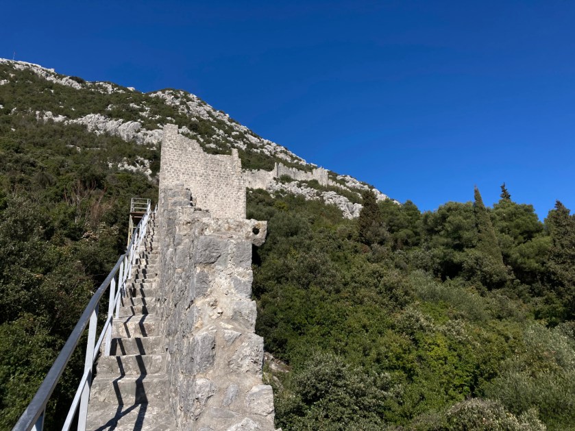
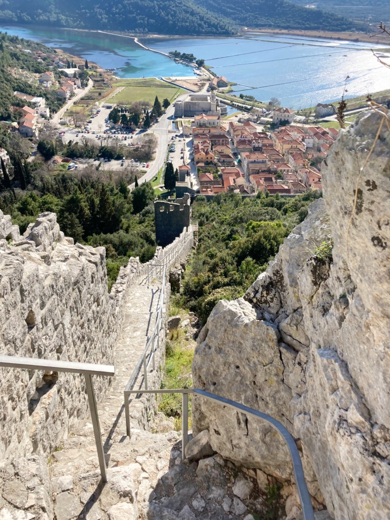
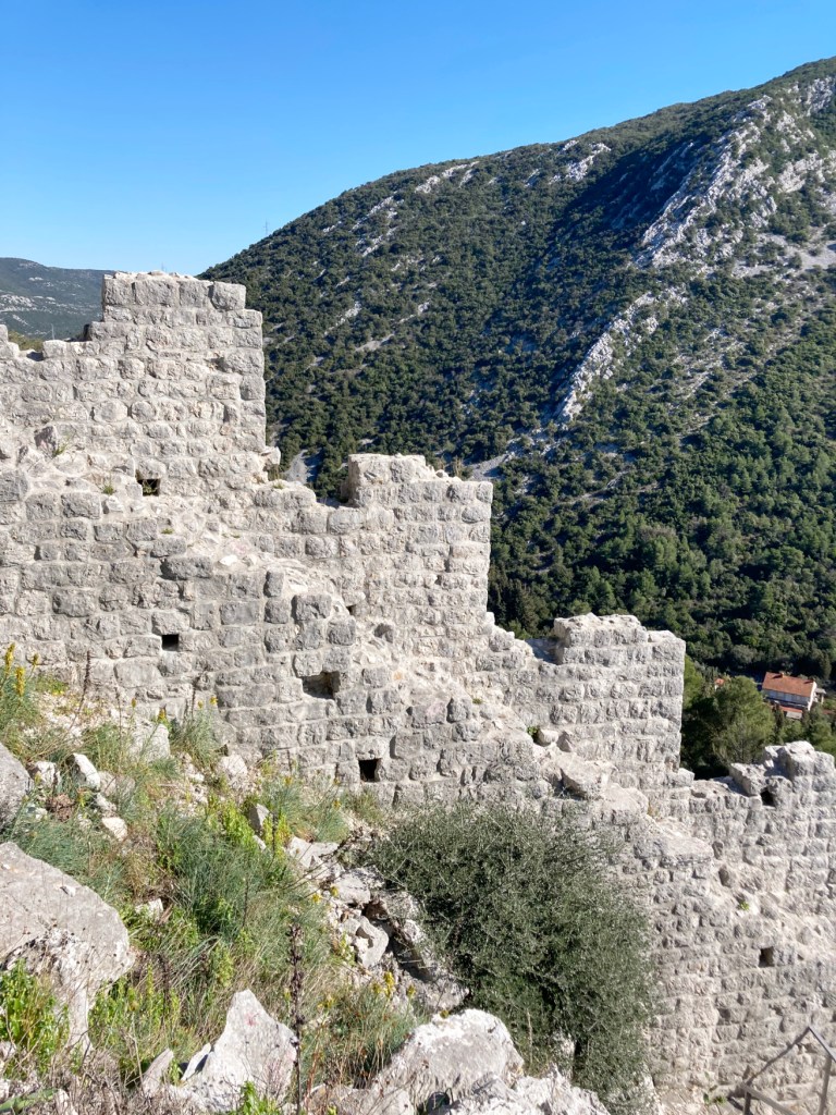
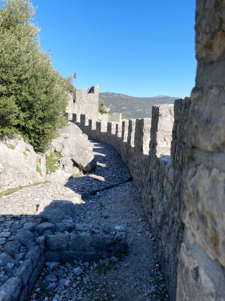
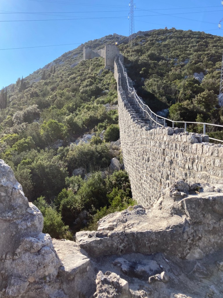
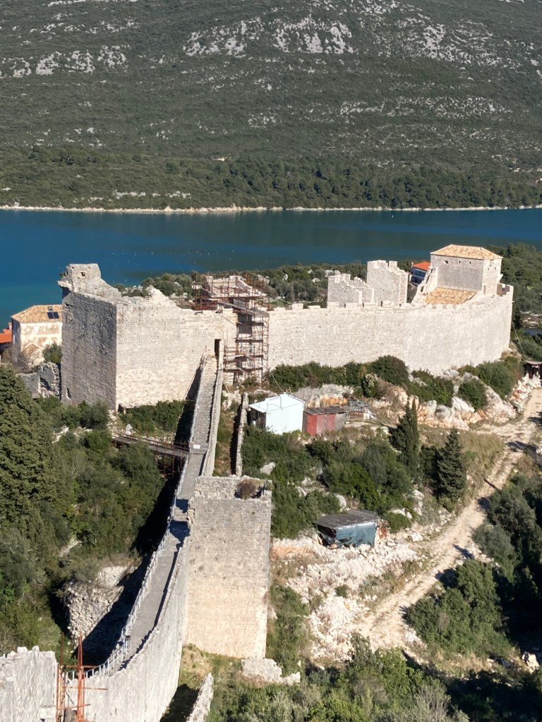
This area (like most of the Balkans) has a long and convoluted history. For our purposes, we’ll begin in 1333 when the Republic of Dubrovnik purchased the Peljesac Peninsula. This acquisition expanded the Republic in a strategically important area that was geographically better for defense. Most important, however, Ston was a site of salt production. The bay is very shallow and the local population had leveled these shallows and put in flat stones to create pans where seawater was evaporated. Salt production in this area may go back to the Romans or further. During these times, salt was nearly as valuable as gold. To protect a resource in the Middle Ages as valuable as gold, you need a wall. So the Republic of Dubrovnik built a network of walls and forts that extends from Ston to Mali Ston and exists to this day; the longest wall (5 km) in Europe.

The salt production facility is only operational when the weather is warmer and not really at an industrial scale any more; it’s kind of like a boutique salt operation.
This is Ston at the base of this hill. The largest building is a fortress. The wall on the left goes to the top of the hill to another fortress. The wall on the right goes to Mali Ston and, you guessed it, another fortress.
Fortress in Ston
Ston wall and the wall over to Mali Ston.
Back of the Ston wall.
You can walk the 5km wall around Ston and over to Mali Ston. So, we did. The wall up the hill goes to the fortress on top- didn’t go there.
Ston.
Fortress. Salt pans to the left. of the elevated road.
We stayed in a studio apt. in the first building you see to the right of the wall.
Almost at the top.
Looking back and down at Ston.
No more uphill but…
…the decent to Mali Ston was a killer.
Fortress in Mali Ston. My knees were killing me then and they kind of hurt now when I look at this picture. To get back to Ston, we walked along the nearly-level road.

Oysters

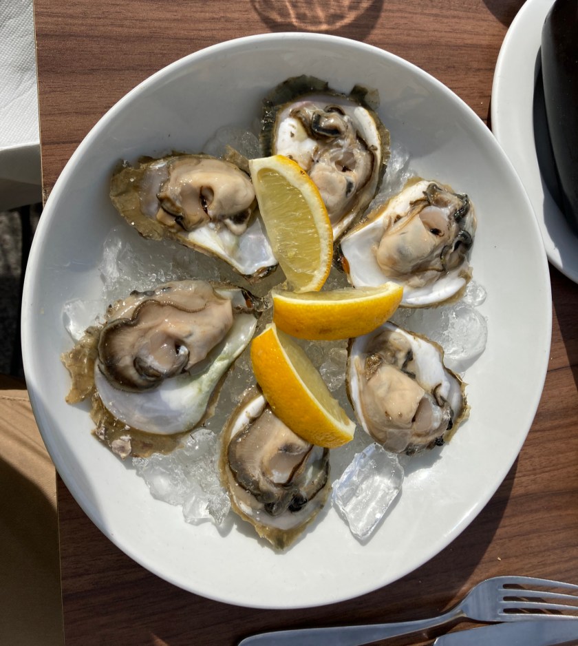
These days, this area is known for oysters. Some say Ston oysters are the best in the world due to a perfect storm of seawater temperature and the right amount of freshwater flowing into the bay.

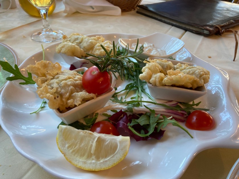
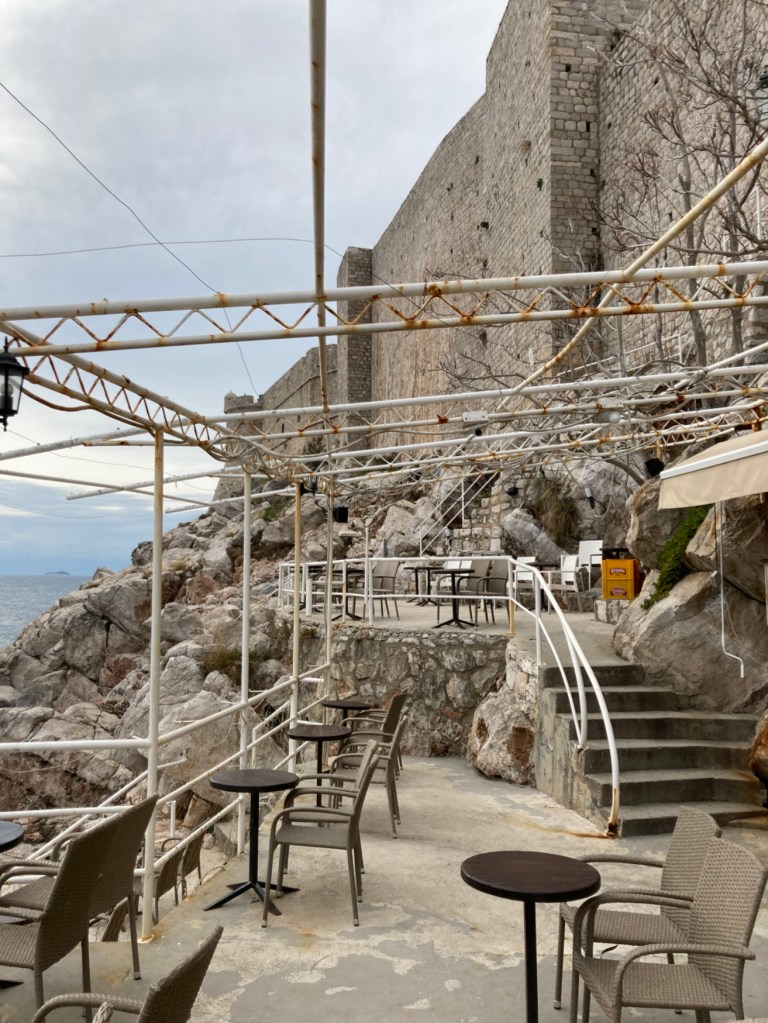
Anyhow, Susan and I got to Ston at lunch. Had oysters for lunch in Mali Ston (after walking the wall). Had oysters for dinner in Ston. The next morning, hoping to go 3 for 3, we went to a restaurant that seemed to be serving food and asked if it would be possible to get a plate of oysters. The young server said yes and we sat down. A few minutes later, he brought us our cappuccinos. Finished our cappuccinos. Waited…and waited. Finally, after about 45 minutes, the waiter comes out, apologizes, and says they didn’t have any oysters on hand and one of his colleagues had to go over to Mali Ston and find an oyster farmer to go pull our order out of Mali Ston Bay. About 30 minutes later, he brings this plate of fresh oysters and a couple of fried ones. All excellent.  

Oyster farm in Mali Ston Bay.
Fried…
or raw. BEST BREAKFAST EVER!

Zagreb VII. Miscellanea. (Feb., 2022)

I have covered almost all of what I think are the coolest things we’ve seen or done in Zagreb. The following are what’s left over. A little history. Some street scenes. A bit more Zagreb quirkiness. Sorry if it’s a little long.

Train station (Glavni Kolodvor) in back. City tram in front.
Cafe.
Entrance to roof top bar.
Walk along the Sava River.
Zagreb has a great tram system. This is one of the older trams.
I like the older trams (heated seats).
New trams. We took a couple to the end of the line, then rode them back or walked back.
This tower is left over from the defensive walls built around the Bishop’s palace.
This tower is left over from the defensive walls built around the Cathedral.
Stadium Maksimir- where GNK Dinamo Zagreb plays its home matches.
Zagreb began as 2 adjacent towns, Gradec and Kaptol, each town had its own walls. Popov Tornar (Priest’s Tower) was on the north side of Gradec.
Lotrscak Tower- built in the late 1200’s to guard the southern approach to Gradec.
The Zagreb Funicular- the shortest funicular in the world. It’s goes up about 65 feet and takes 10 seconds. I grew up in Johnstown, PA, which also has a funicular. We call it the Inclined Plane and it is the steepest in the world. That’s Lotrscak Tower to the right.
Outdoor hockey rink. There’s also tennis courts and swimming pools in this complex.
Park below the cathedral.
What’s left of the wall around Kaptol.
Marko Marulic– Father of Croatian Renaissance, Father of Croatian literature (take your pick). The sculptor is Vanjas Radaus.
When Zagreb was 2 adjacent towns, Gradec and Kaptol, each town had its own walls. This is the the Stone Gate into Gradec, the only surviving gate for either town from that time.
The is just inside the Stone Gate. In 1731, Zagreb experienced a devastating fire. In the ruins around the Stone Gate, they found a completely undamaged painting of Mary and Baby Jesus. The only possible explanation was that this was a miracle. So the residents built this small shrine to display the painting. There were almost always at least one person praying. You could buy candles to the right. The tiles are all painted or engraved with HVALA (thanks) for answering a prayer.
Mary and Baby Jesus.
Pretending to be an artist.
Weather Station.
One of the main “restaurant” streets in Zagreb between Gradec and Kaptol.
Another “restaurant” street.
Dollar Green Market- every day.
Note the extremely analog system for determine weight.
Kumica Barica. Statue in the Green Market honoring the peasant women who brought fruits and vegetables from their farms and gardens to sell at the Green Market.
Ban Jelacic (Governor Jelacic). Under his leadership, laws were applied to everyone equally, regardless of title or wealth. He is very popular. Originally, he faced the opposite direction from where the Tartars would have come. When Croatia was part of Yugoslavia, the statue was taken apart and stored so it didn’t incite Croatian nationalism. After the Homeland War, the people of Zagreb reassembled it and pointed it toward Serbia.
WWII, WWI, and older military memorabilia at a flea market.
Don’t know why this bar chose the rabbit as its totem. Notice the shelf. The bar is very small, so sometimes you have to stand outside to enjoy your drink. The side walk was packed on nights in Dec. and Jan.
Nikola Tesla by Ivan Mestrovic. Tesla is a very-favorite son. of Croatia.
Farewell Zagreb.

Zagreb VI. Museums

Zagreb has a ton of museums. All of them are well organized with most things explained in English. Many of them are regular, “normal” museums filled with art or historical artifacts or science exhibits. Many of them, however, are in a category that is usually denoted as “quirky.”. In total, the collection of museums makes Zagreb a worthwhile destination. Although some were closed because of earthquake damage, more than enough were open.

Museum of Hangovers. A collection of morning-after anecdotes and artifacts (e.g.. stolen sign).

Museum of Mushrooms.

Museum of Chocolate.

Zagreb City Museum.

Ethnographic Museum of Zagreb.

Kloviceva Dvori Gallery.

Zagreb 80s Museum. An apartment of a middle-class family as it would have been furnished shortly before the end of Communist Yugoslavia.

Croatian Society of Fine Arts. The building was designed by the Croatian sculptor Ivan Mestrovic. The exhibit was work by Slavko Kopac.

Museum of Contemporary Art. (Isn’t it obvious?)

Museum of Arts and Crafts.

Museum of Illusions.

Nikola Tesla Technical Museum. This is one of the best science/technology museums I’ve ever visited.

Cutaway of water pump.
Any STEM museum worth its salt should have a representative turbine display…
…as well as transformers
Fan-driven snow sled.

Museum of Archaeology.

Backo Mini Express. This is not technically a museum. Just the lifelong hobby of some guy named Backo. His other hobby is shown behind me in the third picture- The Manhattan skyline is a 10-12,000 piece jigsaw puzzle; he does one a year.

Museum of Broken Relationships. This is the best known of Zagreb’s “quirky” museums.

Before they broke up, this couple made tiny furniture to layout their “forever home.”

Gric Tunnel. This is also not a museum. It’s a bomb shelter built in WWII. It was used again during the Homeland War (1991-5). Now it’s primarily a shortcut between 2 Zagreb neighborhoods.

Dubrovnik: the Old City Walls

Dubrovnik was founded in the 7th cent. CE by refugees from a town a few miles south that was destroyed in a conflict between Slavs and Avars. For the next 650 years, Dubrovnik (also known as Ragusa from an earlier name) was in the middle of the shifting empires (Ostrogoth, Byzantine, Venice, Hungary, etc.) that attempted to fill the void created by the fall of the Roman Empire. Dubrovnik became semi-independent in 1358 and eventually a free state. Independence ended in 1808 when Napoleon entered the neighborhood. After Napoleon was evicted a few years later, Dubrovnik became part of the Austrian empire. After this, as a city of mostly Croatians, Dubrovniks political history became intertwined with Croatia’s political history. I think it’s interesting that the independent Republic of Dubrovnik (Ragusa) was the first foreign country to recognize the independence of the USA. Dubrovnik is a UNESCO heritage site primarily because of the “old town” section which is surrounded by impressive medieval walls.

Dubrovnik (looking into old harbor).
Ploce (plo-chay) Gate and Fort Asimon on the east side.
St. John’s Fort.
St. John’s Fort-old harbor.
St. John’s Fort-old harbor-St. Luke’s Fort
North wall.
Fort St. Vid-Fort St. Lucia-Fort St. Barbara-Fortress Minceta
Northern wall heading toward Fortress Minceta.
Forts at northwest corner.
Fortress Minceta
West wall.
St. Francis Tower-Pile Gate–Fort Bokar (bottom to top)
West wall.
Pile Gate (pronounced Pee-lay) on the West side.
Pile Gate
View from Fort Lovrijenac.
Fort St. Stephen
Fort St. Saviour
Southwest corner.
Fort Bokar
Southwest corner
South wall.
After a hot day walking the walls, go through a small doorway in the south wall and enjoy a refreshing malted beverage at Buza II Bar.

At night:

Plitvice Lakes National Park (Jan., 2021)

Plitvice Lakes are located in a Croatian National Park a couple hours drive south of Zagreb. This is where the first shots of the Croatian Homeland War were fired in March, 1991. The lakes have been forming over the last several thousand years by the deposition of calcium carbonate to create so-called tufa barriers or dams. The result is a series of 16 lakes with waterfalls of various sized in between them.

jezero (jez’-er-o)= lake

In this cross-section, the tufa barriers are shown in white.
This give a sense of the Plitvice cascading lake system. Much of the trail system is a boardwalk that goes back and forth across the canyon, which you can see in the middle of the picture.
Falls and boardwalk. One of the advantages of traveling in winter is that there aren’t many tourists. I’ve been told that, in the summer, there are 2 lines of people, one going in each direction..and you dare not stop.
Falls going over one of the bigger tufa barriers.
You have 3 options for getting around. You can hike, take a boat, or take a bus. The boat and bus only allow access to some of the park. The downside of a winter visit to Plitvice is that the upstream half of the park is closed, even to hikers.
Heading down Jezero Kozjak, the longest lake in the park.
Frozen waterfall.
Closed trail.
I have always wanted to take a picture of an alpine lake when the surface is flat calm- check!
We got off the boat and started our hike down the canyon.
Jezero Milanovac.
Falls along the way.
Boardwalk trail.
Limestone caves.
Entrance to a limestone cavern.
Yes, the water really is that color.
It doesn’t appear that everyone made it back from their boat ride.
Before you leave the canyon you have to go see the cleverly named Veliki Slap (in English, Big Waterfalls). That’s about 230 feet to the top.
There’s another 60 feet of Veliki Slap below and a view down the canyon.
Trail switchbacks up the top for the every-vista-is better-than-the-last trail.
The view from the higher trail.
Just couldn’t stop taking pictures.
The bottom of Veliki Slap.
Just can’t get enough.
Small falls and board walk. The bottom of the”Y” goes to the caves shown above.
Heading back on the boat.
One last look at Veliki Slap.